


Data Security & Privacy

Fast Delivery with High Accuracy

Cost Effective Pricing

Scalable Solution by Experts


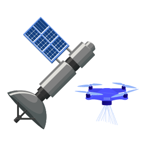
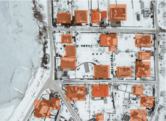
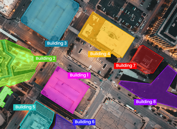
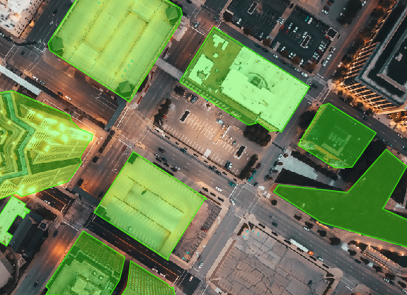
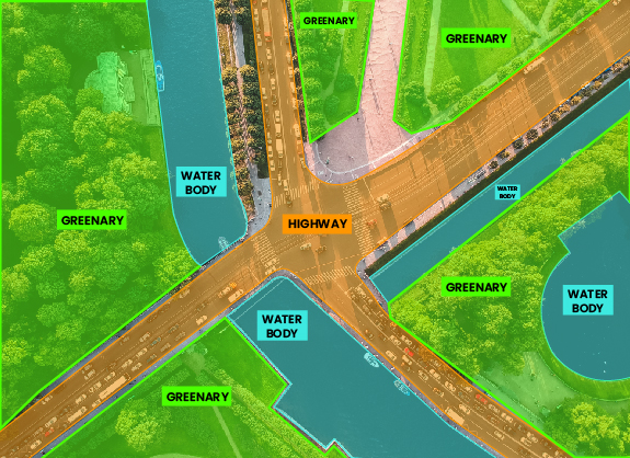
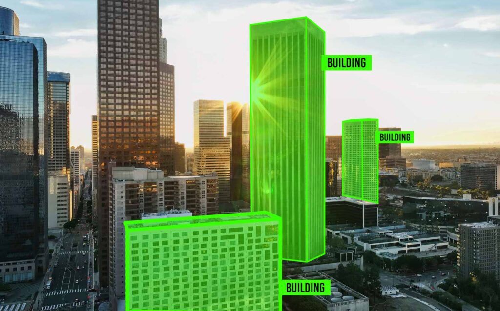
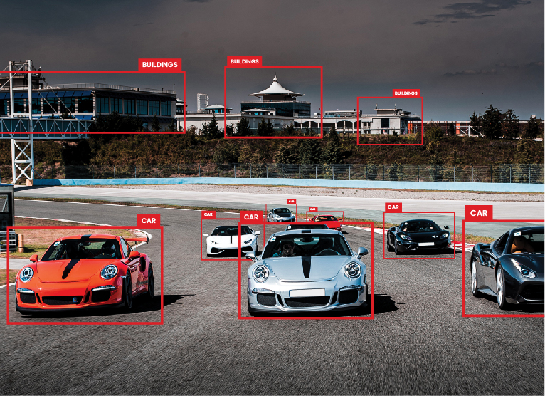
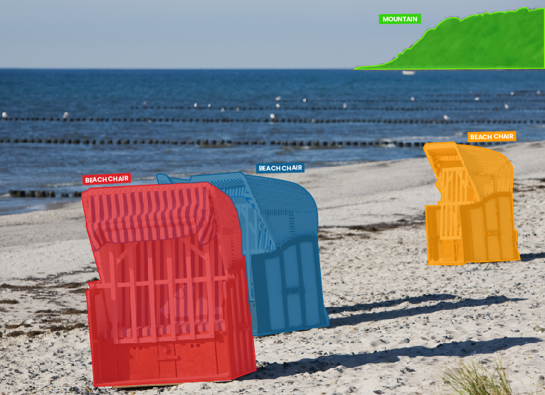
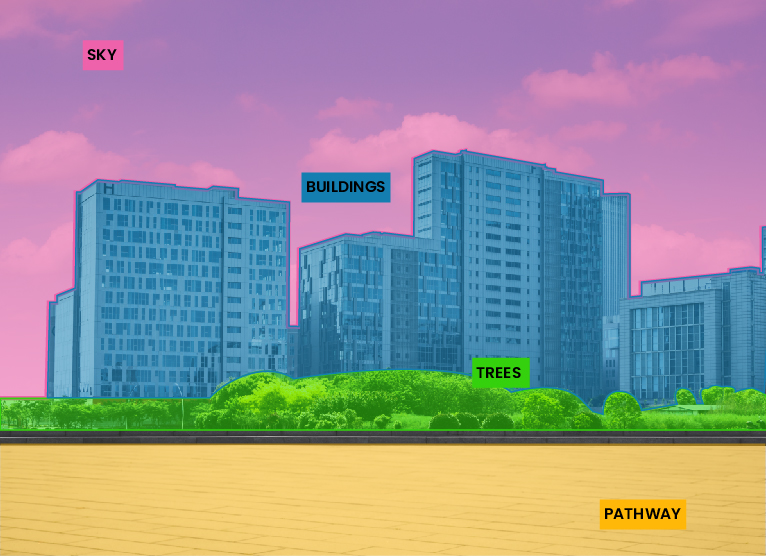
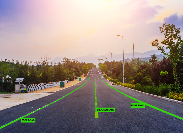
Aerial satellite & drone images contain large amounts of unprocessed information. Proper annotating such high resolution aerial imagery photos and videos is paramount to extracting useful information and training AI & ML algorithms and computer vision models. Agriculture, Logistics, Urban Housing, and Construction are front runners in aerial imaging.
We carefully analyze your requirements and provide top quality data solutions to enhance your AI Models
| Cookie | Duration | Description |
|---|---|---|
| cookielawinfo-checkbox-analytics | 11 months | This cookie is set by GDPR Cookie Consent plugin. The cookie is used to store the user consent for the cookies in the category "Analytics". |
| cookielawinfo-checkbox-functional | 11 months | The cookie is set by GDPR cookie consent to record the user consent for the cookies in the category "Functional". |
| cookielawinfo-checkbox-necessary | 11 months | This cookie is set by GDPR Cookie Consent plugin. The cookies is used to store the user consent for the cookies in the category "Necessary". |
| cookielawinfo-checkbox-others | 11 months | This cookie is set by GDPR Cookie Consent plugin. The cookie is used to store the user consent for the cookies in the category "Other. |
| cookielawinfo-checkbox-performance | 11 months | This cookie is set by GDPR Cookie Consent plugin. The cookie is used to store the user consent for the cookies in the category "Performance". |
| viewed_cookie_policy | 11 months | The cookie is set by the GDPR Cookie Consent plugin and is used to store whether or not user has consented to the use of cookies. It does not store any personal data. |